Orienteering Project

This is the first challenge within the Robotics with GoPiGo and Python Curriculum.
Your task is to program your robot to navigate an area of previously unseen terrain to reach its destination, passing through a number of waypoints.
1. Plan Your Route
Think about a route that you would like your robot orienteer to follow and the landmarks that it might pass along the way.
- What everyday objects can you use to represent your landmarks?
- For added fun, be creative and invent some puns. The more groan-inducing the puns, the better!
For instance:
- a bag of cough drops could represent a local coughy (coffee) shop
- a soft toy sheep and a pair of scissors could represent a baaaa-ber (barber) shop
- a herd of model cows could represent an agricultural moo-seum (museum)
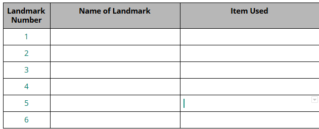
Create a table like the one below and list all of your landmarks in it in the order that they will be visited by your robot orienteer.
We recommend that your map has at least 5 landmarks, including your start and end point, but you can have more if you like.